

A spatial trust framework for land identity and parcel clarity.
LIN is a concept for linking geospatial references and institutional identity into a clearer, more accountable record structure.
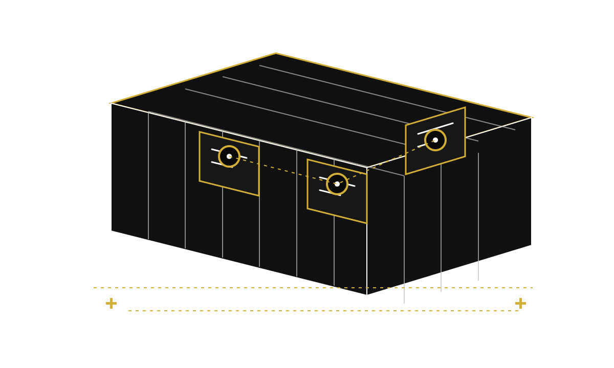
Land records often lack shared structure and durable references.
When location data, parcel history, and institutional ownership are not coordinated, trust and operational clarity suffer.
A foundational framework for standardizing and resolving land-related identity and ownership references. Bethrass presents this product with clear maturity context so institutions can understand what is currently being built and what is still in design.
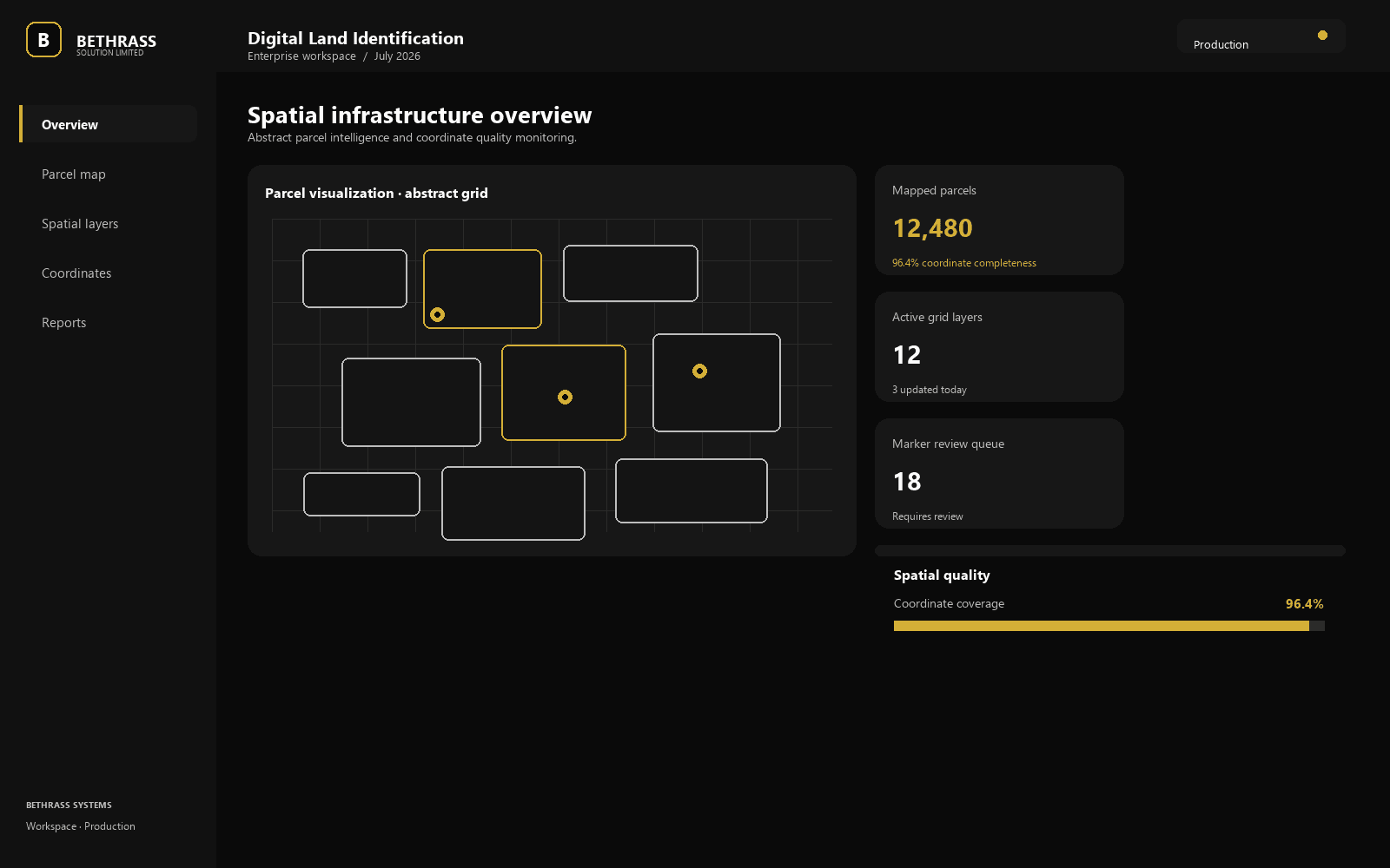
A shared framework for map-based identity and parcel references.
LIN is intended to support clearer references for location, identity, and institutional responsibility across land-related processes.
Parcels and coordinates represented through shared structure
Institutional references designed for verification and review
A foundation for spatially anchored trust layers
The architecture is built around clarity, trust, and disciplined implementation.
Bethrass is approaching each product with a manageable technical spine rather than an overbuilt feature set.
- Coordinate-aware reference model for parcel context
- Identity anchors that connect location to institutional ownership
- Structured review paths for traceable land-related records
Research and conceptual design. Not yet available for production use.
This product is being presented with the appropriate maturity context and should not be treated as a deployed production service.
Planned direction and next steps.
01
Develop the conceptual spatial framework
02
Map key institutional and administrative use cases
03
Refine the architecture for future implementation
Interested in partnering with Bethrass? Contact us.
Bethrass welcomes conversations with institutions that want to understand product direction, discuss architecture, or explore future pilots.